Founder & CEO
Building the Future of Spatial Intelligence
Founder of GeoScope Analytics, GIS Solution Engineer, and creator of SiteIQ™ and OnePin™. Helping organizations make better decisions through geospatial intelligence, AI, and enterprise GIS.

Founder story
My Journey in GIS
A focused path from technical GIS foundations to AI-powered geospatial products and enterprise spatial intelligence.
01
Early GIS Foundation
Building technical foundations in mapping, databases, spatial analysis, and GIS application development.
02
Enterprise GIS Development
Designing applications, automations, and spatial workflows for public and private sector organizations.
03
Renewable Energy & Infrastructure
Supporting utility-scale solar, terrain intelligence, infrastructure analysis, and large-scale geospatial systems.
04
Solution Engineering & GeoScope
Building SiteIQ, Nexora AI, and Enterprise Spatial Solutions, including the OnePin asset identity capability.
Experience highlights
Credibility across enterprise GIS, renewable energy, and spatial product development.
The work behind GeoScope blends hands-on engineering, enterprise architecture, and product thinking.
GeoScope Analytics
Founder & Product Builder
Creator of SiteIQ™, OnePin™, and AI-powered geospatial intelligence workflows.
Arizona State University
Enterprise GIS Architecture
ArcGIS Enterprise, utility network initiatives, real-time GIS, campus mapping, LiDAR/drone workflows, and spatial systems.
Accenture
GIS Solution Engineering
Supporting enterprise geospatial solutions for major organizations including Meta and CalRecycle.
Terabase Energy
Renewable Energy GIS
Geospatial software development supporting utility-scale solar deployment, terrain analytics, and site intelligence.
Products built
Practical geospatial products for real-world decision support.
GeoScope products are designed to turn complex spatial inputs into clearer decisions.
SiteIQ™
AI-powered site selection and due diligence.
OnePin™
Building and asset identity within GeoScope Enterprise Spatial Solutions.
GeoAI Workflows
Practical AI agents and automation for geospatial decision support.
Expertise
A practical blend of GIS, AI workflows, infrastructure, and product design.
Focused expertise across the tools, systems, and workflows that modern spatial teams rely on.
ArcGIS Enterprise
ArcGIS Online
GeoAI
Site Selection
Spatial Analytics
Renewable Energy
Utility Network
Data Engineering
Cloud GIS
Python Automation
Web GIS
Digital Twins
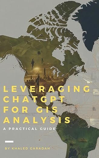
Author of Leveraging ChatGPT for GIS and Spatial Analysis
Author of Leveraging ChatGPT for GIS and Spatial Analysis, exploring practical applications of artificial intelligence in modern geospatial workflows.
View on AmazonWhy GeoScope Exists
I founded GeoScope Analytics because I saw a gap between the growing complexity of spatial data and the ability of organizations to make timely, informed decisions. Too often, valuable geospatial intelligence remains trapped in disconnected systems, reports, and workflows.
GeoScope was created to bridge that gap by combining enterprise GIS, artificial intelligence, and modern cloud technologies into practical solutions that help organizations understand places, evaluate opportunities, and make decisions with confidence.
Our mission is simple: transform location data into actionable intelligence.
Build your next geospatial decision system with the founder in the room.
Discuss SiteIQ assessments, Nexora AI evaluations, or Enterprise Spatial Solutions, including OnePin.